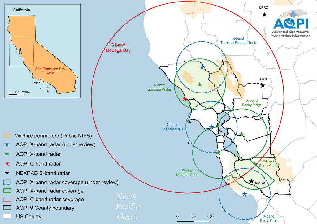
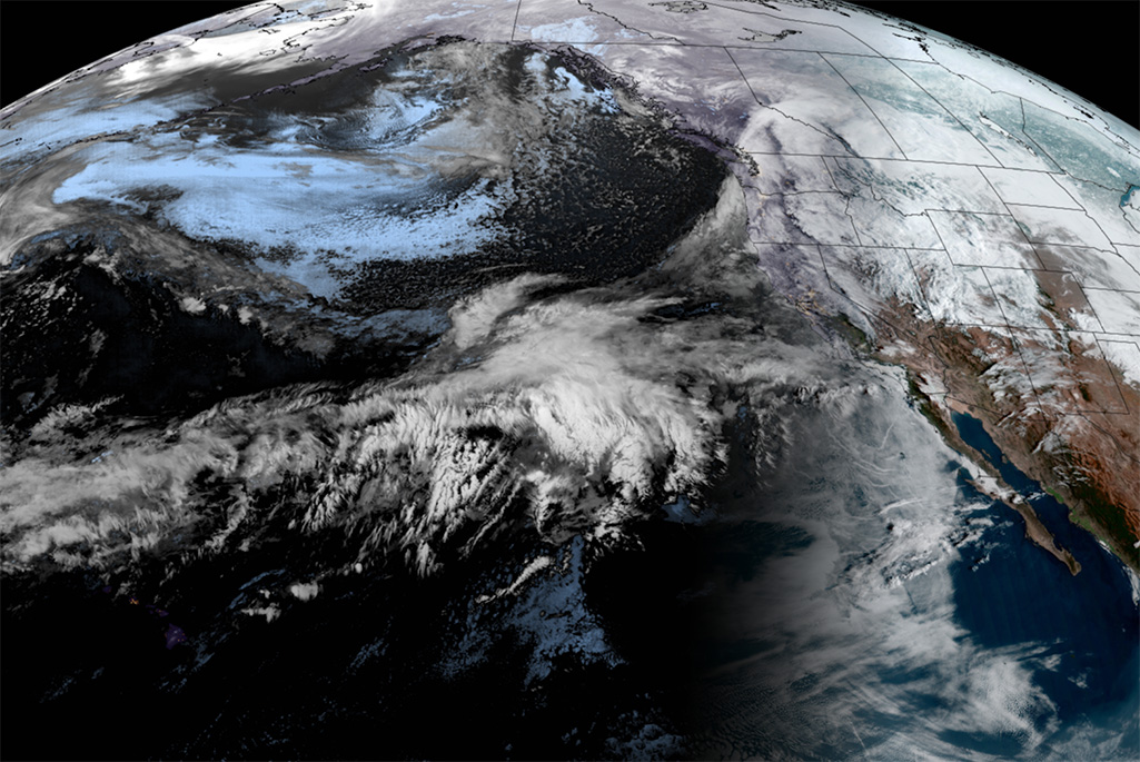
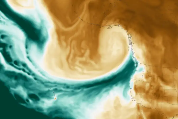
Berkeley Lab scientists are investigating the characteristics and impacts of back-to-back atmospheric river events By Julie Bobyock, Berkeley Lab In California’s 2022-2023 winter season, the state faced nine atmospheric rivers (ARs) that led to extreme flooding, landslides, and power outages...
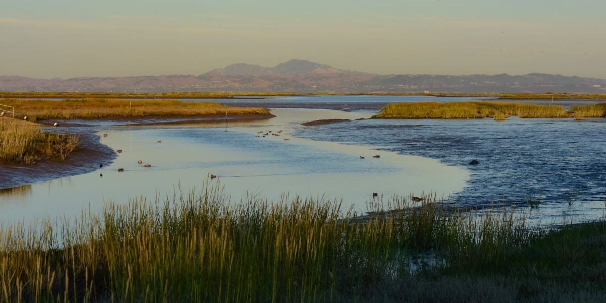
Collecting consistent wetland data supports large-scale insights. By NOAA Fisheries Conservation partners, including NOAA Fisheries, have created new guidelines for...
From the USGS: This report summarizes results from boat-based, high-resolution water-quality mapping surveys completed before, during, and after upgrades to the EchoWater Resource Recovery Facility (EchoWater Facility), the regional wastewater facility for the City of Sacramento and surrounding areas, near...
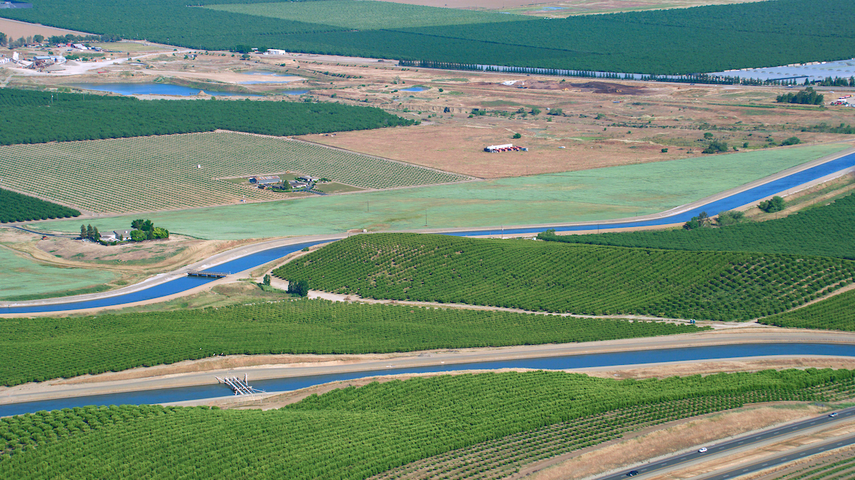
Climate change projections for California indicate a future characterized by warmer temperatures, reduced snowfall, greater rainfall, and drier summer conditions....
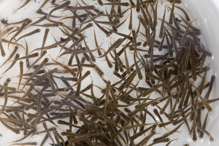
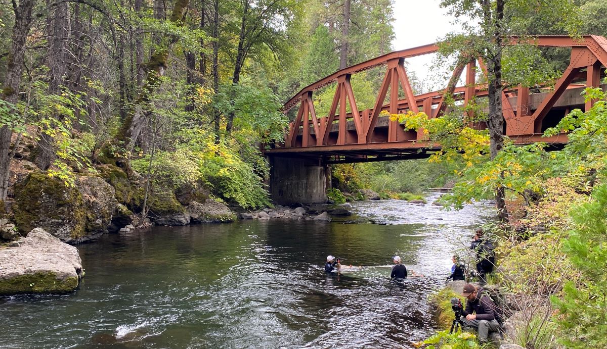
Chinook in three creeks may be vulnerable alone, but resilient together. By NOAA Fisheries Restored salmon habitat should resemble financial portfolios, offering fish diverse options for feeding and survival so that they can weather various conditions as the climate changes,...
Nutrients from human waste boost ocean acidification & hypoxia in CA―wastewater treatment agencies say regulation is premature, environmentalists say it’s...
DRI’s Anne Heggli is partnering with the National Weather Service to understand flood risk from rain-on-snow storms in real-time, protecting communities and enabling water conservation throughout Nevada and California From the Desert Research Institute At the dawn of the new...
In a new report, U.S. Geological Survey scientists working in collaboration with the Bureau of Reclamation (BOR) have laid the foundation for a comprehensive understanding of how habitat restoration can significantly benefit native fish populations in California’s Central Valley. By...