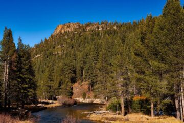
RESEARCH ARTICLE: Low-flow, high stakes: CAP Fellows review climate-driven flows and management across the US USGS HydrologyResearch article September 24, 2026From the USGS: In a new publication, the 2022-2024 Climate Adaptation Postdoctoral Fellows cohort explores how climate-driven low-flows in rivers...
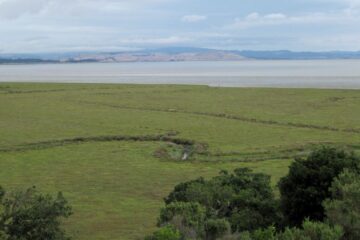
USGS: In San Francisco Bay, even an exceptionally wet year can’t supply enough sediment to keep pace with rising seas, new study finds USGS Climate changeEcosystemsResearch article August 25, 2026From the USGS Coastal and Marine Hazards and Resources Program Extreme rainfall can send huge amounts of sediment rushing off...
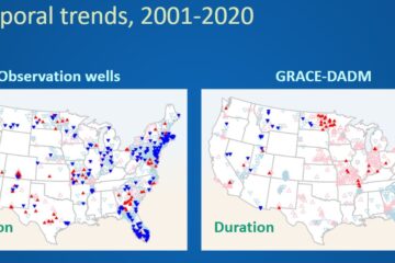
USGS: As above, so below? Trends in groundwater and streamflow across the United States 1980-2020 USGS HydrologyResearch article August 11, 2026From the USGS: Joint trend analysis of streamflow and groundwater on a national scale is a critical step toward understanding...
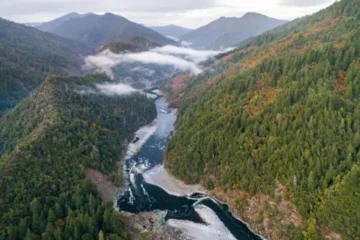
USGS: The Klamath Dams are down: A closer look at juvenile salmon migration USGS Fish and wildlife August 6, 2026The Klamath dams have been removed. What will this mean for juvenile salmon on their way to the ocean? By...
USGS: Morphodynamics of dune-based coastal flood mitigation under sea level rise USGS Climate changeResearch articleScience July 29, 2026By the USGS Pacific Coastal and Marine Science Center Natural and engineered sand dunes serve as barriers to protect against...
USGS: Environmental DNA monitoring protects fish hatchery from invasive species USGS Ecosystems July 11, 2026By the USGS USGS NOROCK scientists, in collaboration with the U.S. Fish and Wildlife Service, used environmental DNA monitoring in...
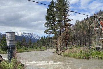
USGS: As wildfires burn, rainfall can strip oxygen from rivers, killing fish USGS Wildfires and watersheds May 20, 2026USGS study highlights how storm-driven sediment and ash from the 2022 McKinney Fire caused lethal water-quality conditions for resident fish...
USGS: When surface water runs low, groundwater supplements water supply USGS Groundwater News May 15, 2026From the USGS Both surface water and groundwater provide critical water supplies across the United States. In surface-water limited regions,...
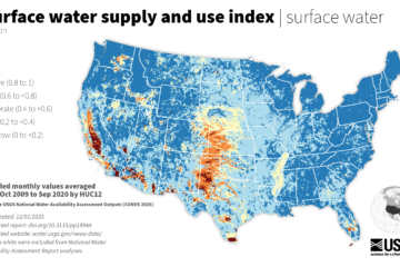
USGS: New nationwide tool helps answer: Do we have enough water? USGS Planning and management April 27, 2026From the USGS: The U.S. Geological Survey released the first nationwide tool to help water planners determine if communities have...
USGS investigates groundwater drought metrics across the US USGS Groundwater News April 21, 2026From the USGS: In a pioneering study led by the U.S. Geological Survey (USGS), researchers analyzed groundwater levels across the...
USGS: New AI tool forecasts drought 90 days ahead nationwide USGS Planning and management April 1, 2026System gives water managers, farmers, and communities early warning of streamflow drought conditions By the USGS The U.S. Geological Survey...
USGS Powell Center releases new guidance for managing ecosystems amid rising climatic novelty USGS Planning and managementScience March 14, 2026The USGS Powell Center has released new guidance to help land and natural-resource managers navigate a future where climate-driven environmental...
USGS: Early detection of aquatic threats: eDNA research in the Colorado River ecosystem & Lake Powell USGS Science March 1, 2026From the USGS: The USGS and partners are conducting environmental DNA (eDNA) research in the Colorado River downstream from Glen...
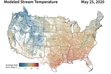
USGS: Hot spots and cold snaps: Daily stream temperature data across the US from 1979-2021 USGS Science February 21, 2026USGS scientists recently published four decades of modeled daily stream temperature values for nearly 60,000 river reaches across the lower...
USGS: Elevated geogenic contaminants common in drinking water aquifers across the US USGS Water quality February 9, 2026New comprehensive analysis of groundwater quality from 1988 to 2022 can help water-resource managers and the public health community assess...