
From the Department of Water Resources:
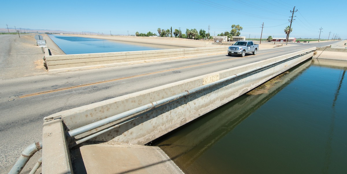
 The Department of Water Resources (The Department, DWR) has released a factsheet on the impacts of land subsidence in California. This factsheet builds on the introduction of subsidence impacts in the previously released Subsidence 101 Factsheet and provides a deeper dive on the significant impacts subsidence can have on infrastructure and communities.
See our Subsidence website for updates on resources and information about subsidence and groundwater management, such as a Subsidence 101 Video; also see our recent digital article.
For general inquiries about the Subsidence webpage or other programmatic topics, please contact: sgmps@water.ca.gov.
Subsidence Draft BMP Public Meeting Materials Available
On July 24, 2025, the Department released a Draft Land Subsidence Best Management Practices (BMP) document. This release was followed by a presentation to the California Water Commission in Sacramento and three in-person meetings in Delano, Clovis, and Willows in August and early September. These meetings included an overview of the draft document and served as a venue for the public to ask questions and provide public comment. Public comments were also submitted by email to sgmps@water.ca.gov.
The presentation slides are posted in English and Punjabi on the DWR Best Management Practices and Guidance Documents page. A video recording of the Clovis meeting as well as a Punjabi audio translation of the meeting will be posted to the webpage as soon as it becomes available.

