

 The Montezuma Wetlands Project is a multi-phase restoration project that uses dredged sediment to raise elevations in diked, subsided baylands to restore ~2,000 acres of a tidal wetland ecosystem. This project is unique, as it receives most of its revenue from the acceptance of dredged sediments.
In operation since 2003, the project is on target to accomplish its restoration goals in support of the Long-Term Management Strategy (LTMS), established by a joint effort of the Corps and other federal, state, and regional agencies to maximize the safe, beneficial reuse of sediment dredged from SF Estuary.
At the 2021 Bay-Delta Science Conference, Cassie Pinnell, a senior ecologist with Vollmar Natural Lands Consulting and the project ecologist for the Montezuma Wetlands project, gave a presentation on the early results and lessons learned from the newly Montezuma wetlands marsh.
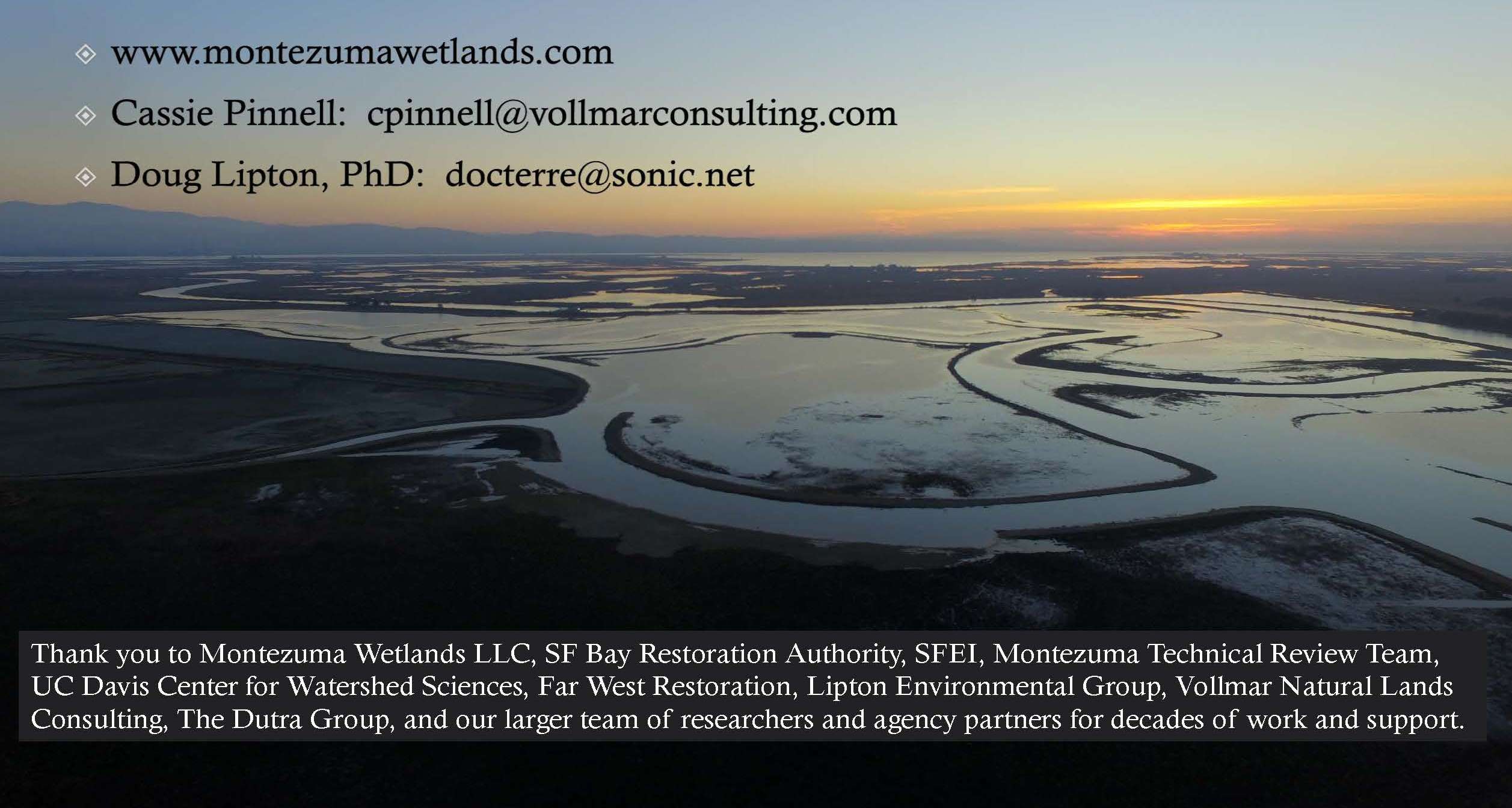
 The Montezuma wetlands project is located in Solano County in the Suisun Marsh area near the confluence of the Sacramento and San Joaquin Rivers. After an extensive early review, the site was selected for having high restoration potential to support an array of special status species and tidal marsh habitat.
The 2400-acre site was once roughly 1800 acres of marsh transitioning into bunch grasses and large playa vernal pools. In the 1870s, levees were constructed around the entire outer perimeter, and the site was used for livestock, dryland grain farming, and other uses. The leveed areas subsided up to about 10 feet across the site, but the bunch grasses and vernal pools in the upland areas were left mainly intact.
 The Montezuma Wetlands project is unique in that it is a privately-funded project that works with the Army Corps of Engineers, the Port of Oakland, and other dredging projects to accept sediment, both clean cover sediment and foundation settlement, which is sediment with higher levels of contaminants than what would otherwise be considered clean sediment.
The general design of this project is to accept the foundation sediments and lay them down very low in the first layer of the marsh, then cover it with many, many feet of clean sediment, thereby locking the contaminated sediment down in an anoxic environment. This keeps the foundation sediments from reaching areas that would have tidal channel formation cutting through them, as well as making it inaccessible to the wildlife and plants. The goal is to use the sediment to raise surface elevations to conditions suitable for tidal marsh to be reestablished at the site.
 Material is brought to the project by barge, where it is slurried and offloaded by the electrical powered Liberty offloader, which can pump the slurried sediment up to four miles through pipes to be placed in the target cells. The water is then decanted through a closed system to be reused for future offloading.
The project is adaptively managed and revised based on the best available science. The phases are isolated from each other, and the performance criteria are met within each phase before the full construction of the next phase. The designs are revised based on lessons learned and the best available science; permits and plans are updated as needed.
 Planning and permitting for the Montezuma Wetlands project took 12 years. Ms. Pinnell noted that adaptive management was built into the project from the beginning. The Technical Review Team, currently chaired by Josh Collins of the San Francisco Estuary Institute, is comprised of specialists covering all project areas.
“The Technical Review Team members recognize that they’re part of an adaptive management process,” she said. “They provide recommendations on the phasing of the project, potential changes to the monitoring methods or performance standards that are currently described in the plans, as well as location of reference sites or on any important project design and operating elements.”
Adaptive management
This project started construction in the early 2000s, during which time there have been many lessons learned and opportunities to integrate adaptive management.
Creation of California least tern and snowy plover habitat
 Examples of adaptive management integrated into the project during construction of phase one included changing the project to include habitat for two special status species that arrived on-site during construction, the California least tern and the snowy plover.
“In order to avoid any potential take to this species, the project worked with agencies, the Technical Review Team, and the Least Tern Working Group to design and build two and a half acres of permanent nesting habitat outside of the future tidal marsh areas,” said Ms. Pinnell. “These habitats are managed to maintain appropriate conditions, and the project incorporates the use of decoys, a sound system with tern calls, and chick shelters. The nesting and fledgling success is monitored annually, and additional management actions are considered as needed, including predator control.”
Modification of high marsh design for salt marsh harvest mouse
 The project was redesigned to better support the salt marsh harvest mouse after emerging data suggested that this species does not depend solely on stands of pickleweed. The elevation was raised slightly to reflect updated tidal reckoning and ensure more saline conditions for promoting halophytic vegetation more typical of the Suisun Marsh could be met.
“Phase One was specifically selected as the portion of the site that historically provided the least amount of potential habitat for this species in order to avoid impacts to the species during construction and to optimize the rate at which the project could expand habitat for the salt marsh harvest mouse,” said Ms. Pinnell. “Also, since sediment delivery proved to be slower than expected, the project was modified to include a staged approach to tidal restoration of phase one, with some areas being kept isolated from the initial breach until they can reach target elevation.”
Staged tidal restoration: Phase 1
 After receiving about eight and a half million cubic yards of dredged sediment, the first 550 acres of Montezuma wetlands were breached in late October 2020. The breach site connects Montezuma wetlands to the Montezuma Slough; the water then travels through the main channel throughout the site, where it’s connected via notches in the internal placement cells. The project was also designed to incorporate Clank Hollow, a historic remnant feature of the site; the water is now returning to Clank Hollow.
The project elements of phase one include low marsh-high marsh intertidal channels, seasonal wetlands, California least tern and plover habitats, as well as clank hollow, vernal pools, and an ecotone levee that was constructed with additional support from the San Francisco Bay Restoration Authority Measure AA funding.
 “This photo is from the day after breach where tidal flow reinundated the historic Clank Hollow area for the first time in nearly 150 years,” said Ms. Pinnell. “On that first day, we were visited by a herd of tule elk that joined us to celebrate the water returning to the landscape.”
Early results
Fish
 The project has been collecting data post-breach that includes fish sampling and fish usage of the site. In addition, the Montezuma Wetlands project was added as a location to the Suisun Marsh fish study conducted by the Center for Watershed Sciences at UC Davis. As part of that study, beach seining is conducted monthly for five years along the low and high marsh edges.
“Early data coming out of the Montezuma wetlands project shows a good amount of fish usage of the site,” said Ms. Pinnell. “Mainly, our first fish coming into the site has been the inland silversides. But we’ve also seen some native species coming in, such as the splittail.”


In addition, the Suisun Marsh fish study has been conducting otter trawls within the deeper channels monthly, where they’re detecting additional species, shown here on these graphs on the upper right slide. And again, it’s a mix of native and non-native species that are being found in the early days of the Montezuma Marsh, said Ms. Pinnell.
Birds
 The project monitors bird usage of the site. Bird sampling has been conducted monthly at every cell throughout the site since the beginning of project construction. The flat lines on the graph show the site before it was breached.
“Immediately following breach, we saw birds coming into the site within the first day of the site being inundated,” said Ms. Pinnell. “Since then, we’ve seen a regular increase of bird usage of the site, including dabbling ducks, diving ducks, goals, shorebirds, and wading birds.”
Water quality
 The Montezuma Wetlands project also conducts water quality sampling, including the addition of a stationary water quality tower located inside the site in the main tidal channel. This tower currently collects water level, salinity, temperature, and other data at minute intervals.
“We have been pleased to see our initial early results from salinity monitoring showing that the Montezuma site matches pretty closely the salinity of the adjacent Montezuma Slough,” said Ms. Pinnell, noting that the slide shows the Montezuma Slough data collected by DWR in blue and the project data from the marsh in orange.
The project also collects additional water quality data using surface water grabs and handheld meters throughout the site from every cell. This monitoring is conducted monthly at a minimum; it was collected more frequently when the site was first breached.
“Multiple parameters are being collected, and so far, the monitoring from the restoration area looks similar to that of the slough, and the project has met its WDRs since breaching,” said Ms. Pinnell.
Tidal channel formation
The project monitors tidal channel formation using a combination of UAV or drone imagery, as well as field measurements. The smaller tidal channels are forming where the outer cell levees were notched to allow connectivity to the main tidal channel.
There are two types of sediment accepted at the Montezuma Wetlands site: surface and foundation sediment. Cell 10, shown on the lower left, is a surface-only cell in contrast to cell 3/4, shown on the right, which is one of the cells designed to accept a layer of foundation sediment, a separate class of sediment collected from dredging operations.


The layer of foundation sediment was placed deep within this cell inside a sub-cell with a second internal levee constructed to separate it from the rest of the cell, shown in the green line. Foundation sediment was also buried deep below many feet of surface sediment to ensure it remains isolated from plants and animals.
“Tidal channel formation of these cells are being monitored to ensure that this foundation sediment remains buried, and we have been pleased to observe early tidal channel formation develop as expected and in line with project design,” said Ms. Pinnell.
Upcoming biological monitoring
The project will be conducting biological monitoring for special status species, including the salt marsh harvest mouse, burrowing owl, the western pond turtle, the California least tern, and the Western snowy plover. Additional monitoring will be collected from the site, which includes annual surveys for rare plants, as well as the development of the marsh vegetation using drones and field measurements.


Invasive species are also monitored at the site using an early detection rapid response methodology. The overall marsh condition of the site is measured using CRAM for comparison with other marshes throughout the area. Some of the early silversides were collected for biosentinel analysis to look at bioaccumulative COCs on site.
Post-breach of phase one, the project is continuing to work with the technical review team to refine the monitoring methodology and data analysis to assess the emerging project conditions. In addition, the project is conducting extensive chemistry and biological monitoring and measuring these against regional data and reference envelopes from a network of suitable reference sites.
The project is constantly working to involve the best available science. Monitoring approaches will be modified as appropriate as the site continues to develop using a combination of UAV and remote monitoring with ground-truthing and traditional field-based monitoring, said Ms. Pinnell.
Next steps
The next steps for the Montezuma Wetlands project include building the public access component and planning and implementing the next phases.
QUESTIONS & ANSWERS
QUESTION: Were any birds observed before the breach? Any passerines?
Ms. Pinnell: “I realize the graphic makes it look a little misleading. In fact, we had many birds using the site, especially during the construction process when we were filling the cells. They often had quite a lot of water included, because as you can imagine, it takes a lot of water to push that slurried sediment up through the site and then a while for the water to decant. So while the cells were filled through the construction process, we actually did see a lot of waterfowl and shorebirds using those cells. And then, as they dried down, we saw less bird usage. So the data that you saw on that graph was from the cells during the time when they had actually been dry, waiting for breach, during which time we saw very few birds using the site. But we do always have flyovers; we’re in the middle of the marsh, and there are a lot of birds out there. And seasonally, we have our special status birds coming in and using the drier parts of the site as well. And occasionally, we have a burrowing owl come through.”
 QUESTION: What types of surveys are being used to collect vegetation stand data?
Ms. Pinnell: “We’ve been working very closely with a special workgroup out of our Technical Review Team that the San Francisco Estuary Institute is leading to help us identify the ways to find the best potential suite of opportunities for sampling that we can use at Montezuma, but also to make sure that we are doing monitoring in a way that’s compatible so that we can compare it with other sites. So we’re very thankful to the members of that workgroup representing other groups, other sites like Rush Ranch and Elkhorn Slough. But we will be doing a combination of remote mapping, then using something like e-cognition to help us identify the different patches and combine that with field measurements, likely some quadrat sampling. We’re still working out the final details; we have a little bit of time since it’s very early right now.
“Right now, what we’re using for the site is just capturing drone imagery every couple of months so that we can start to see where the signatures are coming in. And because the Montezuma project took so long to be built, we actually had quite a lot of vegetation established before we breached, including some peat islands that rose to the top and are actually higher than some of the other low marsh areas that have maintained a very dense cover of things like pickleweed and salsola. And we’ve done a little bit of revegetation, pilot level experiments on some of those upper Marsh edges where we’re a little bit concerned that they may not passively revegetate as quickly as the lower areas. And so we’ve been working with pickleweed and salvage transplant and installing some shrubs for vertical height like roses that we collected from the site. So we’re working with our workgroup on developing those final measures … “
QUESTION: Can you tell us more about upcoming public access components?
“We’re still working with BCDC on what’s the best public access will be, but it will include trail systems. They will probably be somewhere along some of the phase one levee system or getting down into our next phase system, so we’ll have trail components out there. We’ll also have a very small parking lot, a bathroom, a few benches, and interpretive signs. So we’re very excited to get the public out on site, but it’s not built yet.”
QUESTION: How have you integrated evolving understanding of sea level rise into the design as a project has been implemented over the past two decades?
“One of the nice things about the project taking so long to be built is that we had opportunities to readjust our target heights on updated tidal reckoning and a better understanding of sea level rise. So what we did was overfill beyond what we had initially planned for the site, slightly raising the elevation of that phase one area so that it would be a little bit higher. Then we’ve also been working to better include longer stretching ecotone levees and transitional zones. So we’re working to really incorporate those into our project. We’re very lucky the Montezuma Wetlands project is bounded by a good amount of open space, a lot of which is owned by the project in the uplands area. And so we’ve been working to make it so that as sea level rises, hopefully, it will work to creep its way up those ecotone levees and then have some room to move into the uplands as well, which is very far down the line. But the short answer is that we adjusted and raised our target elevations.”

